Why GNSS is not enough
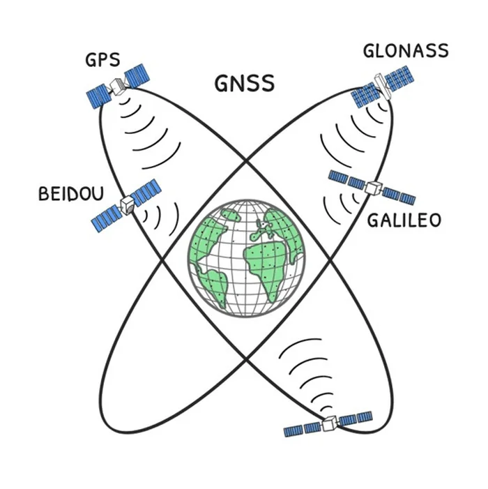
Nearly everything that finds a position, gives directions or keeps precise time today runs on GPS, Galileo, GLONASS and BeiDou. The dependency does not stop at vehicle navigation: emergency crews, public fleets, telephone networks, the electrical grid and freight all hang on the same four systems.
Where it breaks
- The signal is lost in tunnels, indoors and between tall buildings.
- The signal is weak, so it is easy to drown out, and the equipment for doing it keeps spreading.
- A fake signal makes the receiver work out a wrong position. The receiver then shows that position as though it were right, and with high confidence. That is what makes it dangerous.
- Critical services depend on a single family of technology.
- In a crisis the authority over the system does not sit in Turkey.
What has already happened
- United States, May 2026. An air ambulance out of Roswell flew into military GPS jamming and hit a mountain short of Ruidoso. Report on the NTSB finding
- The Baltic, April 2024. Finnair had to stop flying to Tartu altogether for a month. Two airliners lost the signal on approach and turned back to Helsinki without landing; the flights stayed suspended for weeks because the airport's only approach system was GPS based. Anadolu Agency
- Norway, 2019 onwards. Steady jamming from the Kola Peninsula has repeatedly blinded police, ambulance and rescue navigation in Finnmark. During one snowstorm a missing person's emergency beacon failed and the rescue helicopters flew blind. The Barents Observer
- The Black Sea, 2017. Russian electronic warfare units altered the GNSS signals and receivers on more than twenty commercial ships reported a wrong position at the same time: at sea, their screens put them at an airport 40 km inland. GalileoGNSS
- When it happened
What YERKON answers
For the rural unit, 8 to 10 km is a communications and coverage target; how accurately it can measure distance at that range is to be confirmed by field trials. If it holds, a low flying aircraft can hear the unit too. Units around an airport could leave a separate network that keeps working on the ground even with the satellites silenced. These are the report's targets, and this repository measured none of them in the field.
Against a fake signal YERKON is more than a standby: it is a cross-check. A vehicle or a ship can compare the satellite's position with the one from the ground and so detect that it is under a spoofing attack.